Thunderstorm preview as forecasters warn severe weather set to smash Australia this week
An ‘unsettled’ stormy period is predicted for multiple states.

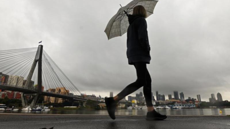
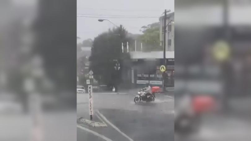
Large parts of Australia are set to experience a week of turbulent, and possibly severe, weather with a “complex system” forecast across multiple states.
Severe weather events could affect parts of NSW, Victoria, South Australia and southern parts of Queensland and Western Australia over the next few days, according to the Bureau of Meteorology.
“We have what we call a complex weather system meaning we are going to see big areas of severe storms becoming quite widespread,” senior meteorologist Miriam Bradbury told 7NEWS.com.au on Tuesday.
Sign up to The Nightly's newsletters.
Get the first look at the digital newspaper, curated daily stories and breaking headlines delivered to your inbox.
By continuing you agree to our Terms and Privacy Policy.Bradbury said the complex weather system is due to a trough in the upper atmosphere with a cold front set to push through on Thursday or Friday making conditions more turbulent.
“Between now and Friday, we are expecting to see pretty widespread storms across the east,” she said.
“For today, the severe storm risk is for inland parts of NSW, eastern parts of South Australia — not including Adelaide — and for Victoria, which includes the western parts of the state with a possibility Melbourne may see some severe storms and heavy rain later this afternoon and evening.”

Storms may also sweep into parts of the Hunter region later this afternoon and into Wednesday but the system is unlikely to push further toward the coast and into Sydney, which is likely to escape the worst of the storms over the next few days.
However, the risk of severe storms increases on Friday across the Illawarra and Sydney.
The severe storm risk will continue, with Bradbury saying severe weather warnings — including for damaging winds — would likely be triggered in some areas through southern parts of Australia from Thursday and possibly in parts of the southeast on Friday.
“A lot of different pieces are going on, we are moving into a very unsettled stormy period across the southeast over the next few days,” she said.
“Thursday and Friday look like very active days, in terms of storms, in terms of strong winds, we are also seeing an elevated fire danger ahead of this front coming through.”

Southern parts of Western Australia may also experience strong winds and severe storms as the cold front starts to “ramp up”.
Bradbury said the weather event will be far-reaching, and people are encouraged to keep up to date by checking forecasts and warnings in their area.
“It really is just a question of just making sure you are across the warnings and forecasts of your particular area,” she said.
“The forecasts are updated regularly. Touching base and checking the forecast in the mornings is a really good start, however, the thunderstorms will be, generally speaking, in the afternoon and evening each day.
“Afternoon and evenings are the key times people should be keeping an eye on the radar if they can, and keeping an eye out for any thunderstorm warnings that need to be issued.”
Originally published on 7NEWS
