Australian coastal communities warned over ‘high chance’ of tropical cyclone developing over next week
Australian coastal communities have been warned over a ‘high chance’ a tropical cyclone may develop over the next week, with the potential for a second to also develop.

Aussies have been warned over the chance two tropical cyclones may develop off the coast over the next week.
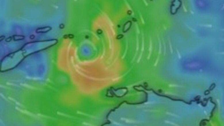
The Bureau of Meteorology has warned there’s a “high risk” of Tropical Low 29U developing into a tropical cyclone next week.
There’s a “moderate chance” the system, currently forming in the Arafura Sea, could develop as soon as Friday.
Sign up to The Nightly's newsletters.
Get the first look at the digital newspaper, curated daily stories and breaking headlines delivered to your inbox.
By continuing you agree to our Terms and Privacy Policy.The warning stated this would most likely happen over waters north to northwest of Darwin and is expected to move southwest into the Timor Sea over the weekend before shifting west-southwest early next week.
“As it moves over waters north of the Kimberley, the chance of tropical cyclone development increases to high early next week,” the Bureau of Meteorology alert stated.
“Coastal communities in the Kimberley should keep up to date with the latest forecasts.”
Meanwhile Tropical Low 30U may also form in the eastern Arafura Sea or The Gulf of Carpentaria on Monday or Tuesday next week.
“If it stays over water it may gradually develop, and it is a Low (10 per cent) chance of developing into a tropical cyclone from Wednesday evening,” the alert stated.
“Whilst there is large uncertainty in where and when 30U may form and move, communities in the area should keep up-to-date with the latest forecasts.”
The Bureau issued a strong wind warning for the North Tiwi Coast and Arafura Coast on Thursday, while a strong wind warning is in place for the North Tiwi Coast on Friday.
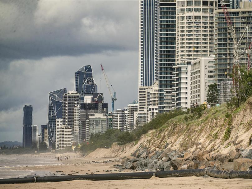
The forecast comes just more than a month after communities in Queensland and northern NSW were hit with significant damage by ex-Tropical Cyclone Alfred.


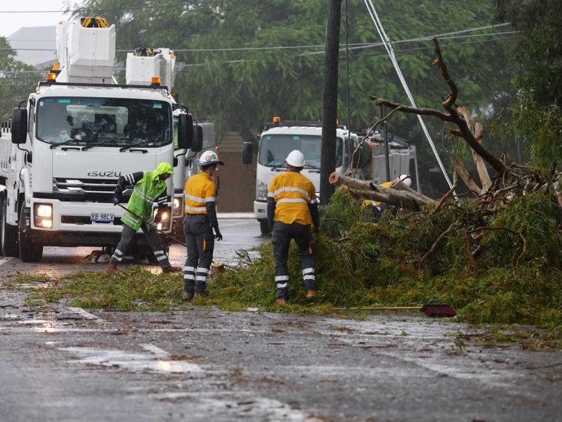
Alfred was downgraded to a tropical low as it approached the mainland on March 8; however the system still managed to cause significant damage, with fierce winds ripping up homes and trees and heavy rainfall causing dangerous flash flooding across South East Queensland and northern NSW.
Darwin is tipped to hit a high of 33C over the weekend with the chance of showers and thunderstorms, with Sydney also expected to experience showers with a high of 28C on Friday.
Melbourne is set to hit a high of 30C on Sunday while Brisbane is forecast to hit 28C on Friday with a chance of showers right through the weekend.
Perth is forecast to hit 33C on Friday with the chance of showers and thunderstorms over the weekend, while Adelaide is tipped to be mostly sunny with a top of 33C on Sunday.
Hobart could reach a high of 22C on Saturday however there is a high chance of showers on Sunday.
Canberra is set for a top of 27C over a mostly sunny weekend.
