Bureau of Meteorology forecast: Australia braces for one of its warmest winters on record

Australians are being urged to prepare for an unusually warm winter, with the Bureau of Meteorology forecasting above-average temperatures across the country in the months ahead.
While many regions are just beginning to cool off from a record-breaking March and a sizzling start to April, the long-range forecast suggests the warmer weather is far from over.
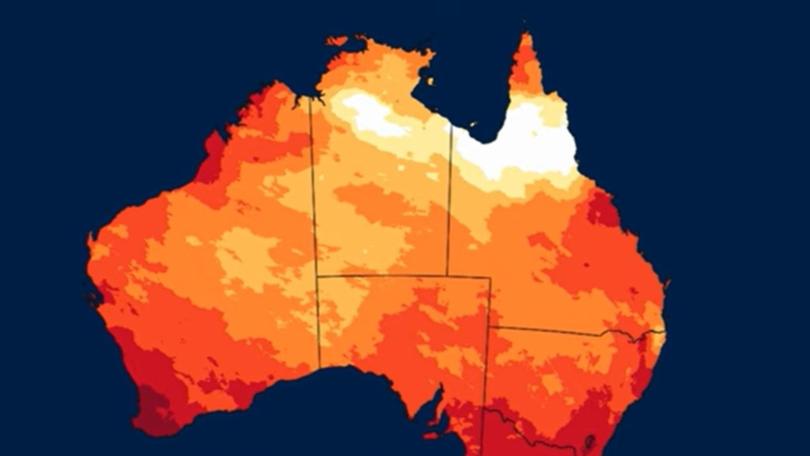
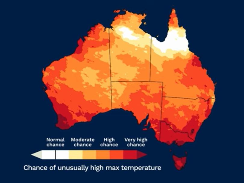
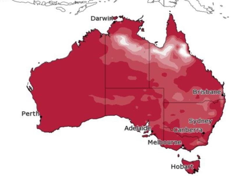
From May to July, daytime temperatures are tipped to be warmer than usual across most of the country, with a heightened chance of unusually hot days away from the northern tropics. Overnight temperatures are also likely to remain above average nationwide.
Sign up to The Nightly's newsletters.
Get the first look at the digital newspaper, curated daily stories and breaking headlines delivered to your inbox.
By continuing you agree to our Terms and Privacy Policy.“There’s an increased chance of warmer nights, especially across parts of the west and in the south,” a bureau spokesperson said.

The bureau’s latest seasonal outlook points to one of Australia’s warmest winters on record. This comes after Australia recorded its hottest March ever, with mean temperatures soaring well above average in almost every state and territory.
Since last August, Australia’s average temperature has been 2.1 degrees above the 1961-1990 baseline, about 2.5 degrees warmer than pre-industrial levels.

The heatwave has continued into April. South Australians are expected to swelter through temperatures of up to 33C this weekend – levels not typically seen this late in the season since April 2019.
In Victoria, temperatures are also sitting 4C to 6C above average, particularly in western parts of the state.
Sky News meteorologist Alison Osborne said a “very hot air mass” moving from northwestern Australia into the southeast was behind the burst of autumn heat, with elevated fire dangers forecast for South Australia’s southern districts this weekend.
While the heat has dominated headlines, it has also been a wild start to the year in terms of rainfall.

Tropical Cyclone Alfred drenched parts of South East Queensland and northern NSW in early March. Later in the month, heavy rainfall returned to western Queensland and northern NSW, with some areas copping more than four times their March average rainfall – setting new records in the process.
Gladstone, in central Queensland, received 106mm in just 24 hours on April 2, pushing its monthly total past 200mm – the highest April total since 1990.
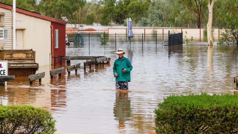
Across central and western Queensland, entire regions nearly doubled their yearly average rainfall in just a few weeks, with widespread flooding across an area roughly the size of Victoria.

But the story has been very different in the south. Since February 2024, rainfall has been well below average in southern parts of Western Australia and South Australia, most of western Victoria and parts of western Tasmania. Some areas have experienced their driest 14 months on record, with soil moisture levels critically low.
Looking ahead, rainfall for May is expected to remain below average for much of Australia, with the exception of the east coast, where conditions are likely to fall within the typical range.
From May to July, scattered areas in the south and east are likely to be drier than average, while parts of Western Australia could be wetter than usual.
Originally published as Australia braces for one of its warmest winters on record
