‘Classic spring’: Millions to be smashed by severe storms, wind, hail
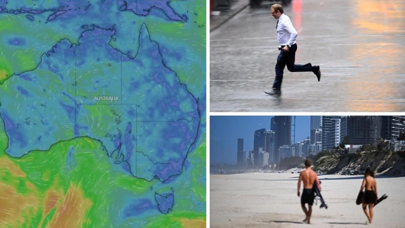
Millions of Australians are again in the firing line of soaking rain and severe thunderstorms.
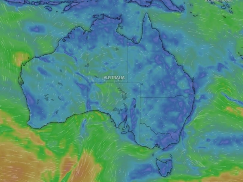
The Bureau of Meteorology is warning a band of rain, storms, and potentially giant hailstones could be on the way as a weather system crawls along the east coast.
Rain is expected for parts of NSW and Queensland on Thursday.
Sign up to The Nightly's newsletters.
Get the first look at the digital newspaper, curated daily stories and breaking headlines delivered to your inbox.
By continuing you agree to our Terms and Privacy Policy.“We are expecting showers and possible storms anywhere from southern parts of NSW, through Sydney, the northeast of the state and then through South East Queensland, all the way up into the tropical north,” senior meteorologist Jonathan Howe told NewsWire.
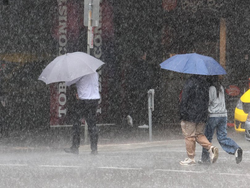
Stormy conditions will also zero in on parts of Queensland on Thursday, impacting the Wide Bay, Gold Coast and Greater Brisbane areas, with the threat stretching as far as Townsville, Mackay, Gladstone, and Rockhampton.
“Keeping an eye today on possible damaging winds, hail and also pockets of heavy rain with some of those storms today,” Mr Howe said.
The storms will only get more intense over the weekend, he warned.
“Brisbane (on Friday) could see severe thunderstorms – more likely tomorrow than today, and they could bring again large hail and damaging winds,” he said.
“Saturday looks to be the peak of thunderstorm days, particularly across South East Queensland.”
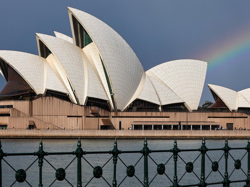
While it will be somewhat wet and soggy in Sydney on Thursday, conditions are forecast to ramp up on the weekend.
“Across the east coast, we are expecting those storms to become more intense with each day and peaking on Saturday,” he said.
Mr Howe explained the current weather is driven by “classic” springtime conditions.
“South East Queensland and north-east NSW (is) entering the really active thunderstorm period,” he said.
“We can expect to see these thunderstorm outbreaks become more common as we head into the new month.”
The grim outlook comes just days after Brisbane and much of Queensland’s south-east was battered by wild storms, leaving tens of thousands of homes without power.
The Sunshine State’s capital recorded its wettest 24 hours since Cyclone Alfred overnight Tuesday, with a rain bomb dumping 53.8mm on the CBD.
Further south, a long low pressure trough is making its way across South and Central Australia, bringing a band of thunderstorms and rain in the south of the country.
“Today, we’ve quite a very weak surface trough pushing through South Australia and Victoria,” Mr Howe said.
“That’ll bring a few showers to Adelaide later (on Thursday) and into western Victoria … we do see also the risk of a thunderstorm across Melbourne and Victoria (on Friday).”

Despite the wet and miserable end to the week, conditions will calm down in Melbourne for the weekend.
But they are unlikely to settle for long, with a cool change to drive temperatures down on Sunday evening ahead of Tuesday’s Melbourne Cup.
“Monday’s looking pretty soggy across Melbourne,” Mr Howe said.
“We will probably see some showers across the city on Cup Day itself, so it could be pretty soggy for punters at Flemington, but hopefully it won’t be too wet.”
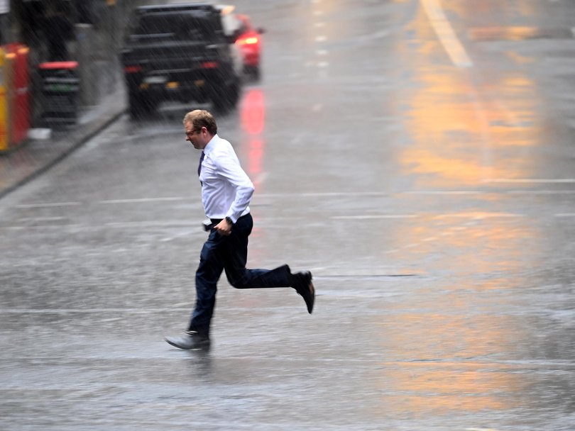
On Thursday, Brisbane residents can expect a partly cloudy day with a high chance of showers in the morning and afternoon, and a possible thunderstorm in the evening, reaching a top of 26C.
Sydney will be partly cloudy with a medium chance of showers in the afternoon, with a maximum temperature of 23C.
There’s a slight chance of a shower in Canberra on Thursday, with the mercury tipping to 22C.
Residents in Melbourne can expect cloudy skies and light winds, reaching a top of 24C.
It will be mostly sunny in Hobart, with light winds and a maximum temperature of 18C.
There will be a shower or two in Adelaide on Thursday afternoon and evening, with a top of 25C.
Perth will be partly cloudy with a medium chance of showers in the afternoon, with the mercury tipping to 22C.
There will be thunderstorms and showers in Darwin on Thursday, reaching a top of 34C.
Originally published as ‘Classic spring’: Millions to be smashed by severe storms, wind, hail
