Millions in firing line as large hail, damaging winds smash NSW
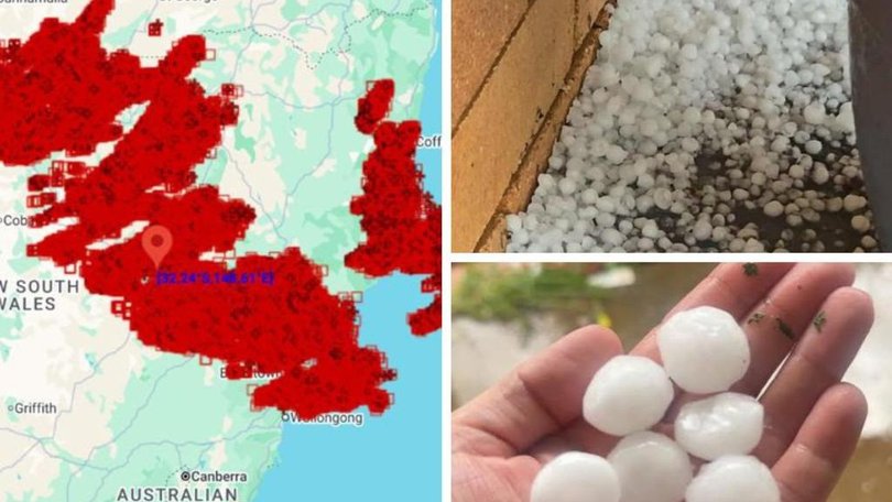
Residents in NSW have copped large hail and intense lightning as storms barrelled through the state, with more wild weather expected this weekend.
The severe weather was widespread across much of northern and eastern NSW overnight, with intense hail and thunderstorms smashing the region.
It was driven by a cold front sweeping across the state combined with warm and humid conditions.
Sign up to The Nightly's newsletters.
Get the first look at the digital newspaper, curated daily stories and breaking headlines delivered to your inbox.
By continuing you agree to our Terms and Privacy Policy.

The cold front also produced blistering winds of up to 50km/h, and dragged temperatures down by at least 10C within a short period of time.
Between 2pm and 7pm on Friday, about 400,000 lightning strikes were recorded within a 500km radius of Dubbo.
“We’re seeing this trough system and cold front moving through eastern Australia,” Bureau of Meteorology senior meteorologist Dean Narramore said.
“Let’s combine it with the really warm, moist and humid airmass, and that’s the perfect ingredients to provide this widespread storm outbreak that was triggered yesterday.”
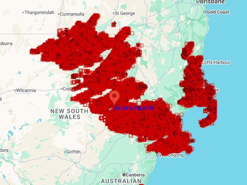
The first hail was reported shortly after 3pm Friday by residents in the Sutherland Shire, south of Sydney.
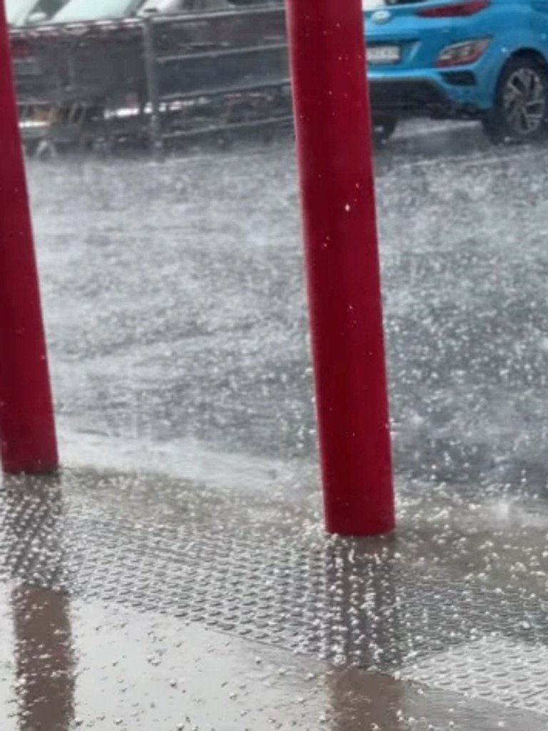
Residents shared footage online of the unruly conditions, as hail pummelled Moorland on the Mid North Coast and Molong, northwest of Orange.
Some of the largest hailstones were seen across the central-west and northwestern regions of the state, some of which were 3cm wide or the size of a 20-cent coin.
A particularly severe storm also brought intense hail around the Coonabarabran area.
“We also saw large hail in some of the suburbs of Sydney, and we also had pretty large hail as well around Dubbo,” Mr Narramore said.
“So it was a huge storm day right across NSW and a sure sign that the spring storm season is well on track at the moment.”
More than 1200 residents were without power in the Engadine region on Saturday morning. The outage was expected to be restored by about 9.30am.
Another 112 have been in total darkness in Waverton Park in North Sydney, with power going out about 9.30pm Friday.
The outage is being addressed by crews, who have not provided an estimated restoration time.
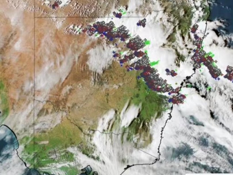
The wild weather isn’t going anywhere just yet, either.
On Saturday, the storms will shift towards the north-eastern regions of NSW and South East Queensland, focusing on the Sunshine Coast, Brisbane, the Gold Coast and much of northeast NSW between Coffs Harbour North to Moree.
“Once again, severe thunderstorms are likely in these areas, where we could see large hail and damaging winds,” Mr Narramore said.
”We could possibly see giant hail and destructive winds with some of our most are intense thunderstorms, particularly around the NSW and Queensland border.”

While the large hail can reach up to 2cm in width throughout the storms, the bureau forecasts giant hail in excess of 5cm to smash parts of the region on Saturday.
Damaging winds are also forecast to hit on Saturday, reaching speeds in excess of 125km/h and likely to cause destruction throughout the day.
“Those winds and that large hail are enough to cause quite sizeable damage to our homes, properties, businesses and agriculture,” Mr Narramore said.
While the unruly conditions will stick around on Saturday, the storms are forecast to move offshore by Sunday.
“(This) means a much calmer and drier Sunday and early next week for much of Queensland and NSW,” Mr Narramore said.
Originally published as Millions in firing line as large hail, damaging winds smash NSW
