NSW flood alert: Wild weather lashes east coast as SES issues upgraded warnings
Upgraded flood warnings are in place across NSW as the east coast braces for another day of relentless rain.
Northern NSW is set for a deluge on Thursday, with 15 already saturated catchments in the region now under flood watch.
The Peel River near Tamworth is tipped to reach minor flood levels overnight into Friday, while parts of the Namoi River along the North West Slopes are set to reach major flood levels of more than seven metres.
Sign up to The Nightly's newsletters.
Get the first look at the digital newspaper, curated daily stories and breaking headlines delivered to your inbox.
By continuing you agree to our Terms and Privacy Policy.
Dangerous river conditions are already threatening residents, with a search underway for two missing people who crashed into the Macdonald River in the Hunter Region just before midnight on Wednesday.
While the Macdonald River was not flooding at the time, the incident is being treated as a flood rescue by NSW SES due to the extreme rainfall impacting the region.
“We’d like to remind people that flash flooding can occur suddenly and without warning,” NSW SES Assistant Commissioner Colin Malone said.
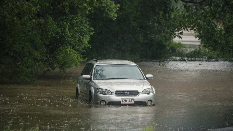
“Please never, under any circumstance, drive through floodwaters. If you come across a flooded road, turn around and find another way.”

Isolated falls cracked triple digits across the state overnight. In the 21 hours to 6am, the highest totals were 115mm at Port Macquarie, 113mm at the Maria River and 111mm at Lake Cathie, all on the Mid North Coast.
“Rivers across northeast NSW have responded quickly to the rainfall seen overnight,” Bureau of Meteorology senior meteorologist Helen Reid said.
“As of 6am on Thursday morning, a flood watch for minor to moderate flooding remains current for much of northeast NSW, including the North West Slopes, Mid North Coast and into the Hunter.”

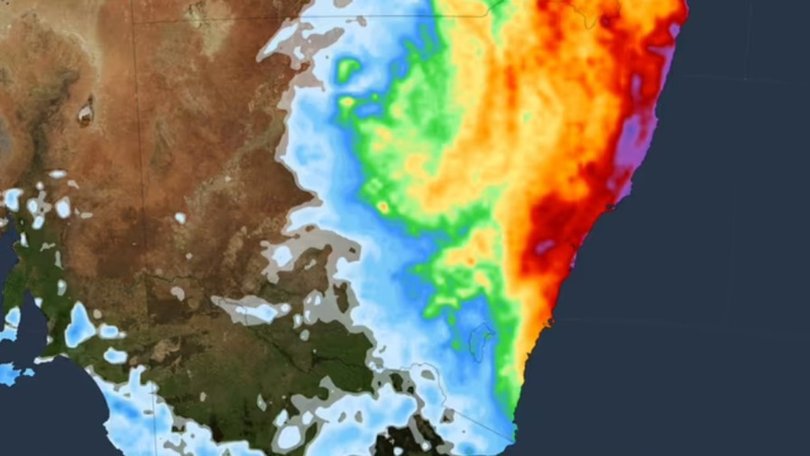
Rainfall totals for Thursday are likely to be between 40 to 80mm across much of Australia’s east coast, from the Gold Coast in Queensland to the Illawarra in NSW.
The drenching is forecast to finally ease from Friday afternoon, as a coastal low-pressure trough moves away from the east coast, drawing moisture and rainfall offshore.
“However, we are likely to see the impacts of any flooding that develops continuing into next week,” Ms Reid said.
Originally published as Fifteen rivers are at risk of flooding in NSW as saturated catchments receive downpour
