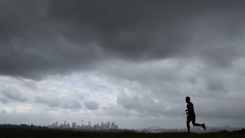
New South Wales ‘bomb cyclone’ warning: East Coast told to brace for wild conditions, winds and flooding
The Bureau of Meteorology is warning residents in NSW to brace for an unpredictable system that is being called a ‘bomb cyclone’, with the SES activating all volunteers in readiness.

The Bureau of Meteorology is warning New South Wales residents along the East Coast to brace for unpredictable and potentially dangerous conditions from a weather event that is being described as a “bomb cyclone”.
The term, which has caught on despite not being a real weather term, describes an East Coast low that has developed rapidly.
The bizarre system could bring 250mm of rain and 125km winds, but the “bomb cyclone” is rapidly changing, proving to be a nightmare for meteorologists hoping to give accurate information for people to use to prepare.
Sign up to The Nightly's newsletters.
Get the first look at the digital newspaper, curated daily stories and breaking headlines delivered to your inbox.
By continuing you agree to our Terms and Privacy Policy.Strong wind warnings are currently in place for the Byron Coast, Coffs Coast and Macquarie Coast, with gale force wind warning for Tuesday given for Sydney Enclosed Waters, Macquarie Coast, Hunter Coast, Sydney Coast, Illawarra Coast and Batemans Coast.
The Bureau has admitted there is “some degree of uncertainty” as the fast-developing “bomb” grows in strength, sparking flood warnings for areas across the coast.
“A trough will move east across the state today (Monday) and deepen offshore,” the Bureau said on Monday.
“A coastal low will develop in the trough on Tuesday and move east across the Tasman Sea from Thursday.
“This low is expected to bring widespread moderate to heavy rainfall across the flood watch area and may cause minor flooding in several catchments from Tuesday.
“Catchments in the Flood Watch area are relatively wet following recent rainfall.
“There is some degree of uncertainty over the exact location and timing of the heaviest falls. Localised river level rises, and flash flooding are likely within the areas of heaviest rainfall.”
What is a ‘bomb cyclone’?
7NEWS Meteorologist Tony Arden said the term refers to the pressure at the centre of a low “bombing or dropping significantly”.
“As it bombs, we are expecting strong winds to start lashing the NSW coast from tomorrow through Wednesday, Thursday,” he told Sunrise.
“Central and southern parts of the NSW coast very likely to be over 100km/h, but even southern Queensland could see some really nastily westerly inland guts could see worst wind gusts than we saw in cyclone Alfred, with the waves to start hammering the NSW coast, damaging surf and coastal erosion are likely.”
In readiness for the unpredictable system, the NSW SES has activated it’s entire volunteer base.
The Bureau said the weather system has the potential to cause minor flooding in the “Flood Watch” area from Tuesday.
“Tuesday and Wednesday are the two biggest days in regard to rainfall and weather impacts,” the Bureau of Meteorology’s Angus Hines said.
Mr Hines said it would an anxious wait for residents on the NSW mid-north coast who are still recovering from record floods in May that claimed the lives of three people and damaged hundreds of properties.
“The current event is shaping to bring most of the rainfall south... but It would take a subtle shift... and bring in some of that heavier rain into the mid north coast which is extremely sensitive to rain,” he said.
The NSW central coast will cop up to 200 mm along with damaging winds taking in areas from Sydney, the Hunter Valley and Illawarra regions as well as southern Queensland.
The system could potentially spread to eastern Victoria including areas around Gippsland.
- with APP

