Sydney weather warning: Meteorologists brace for major storms, days of rain and wind to follow
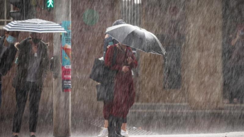
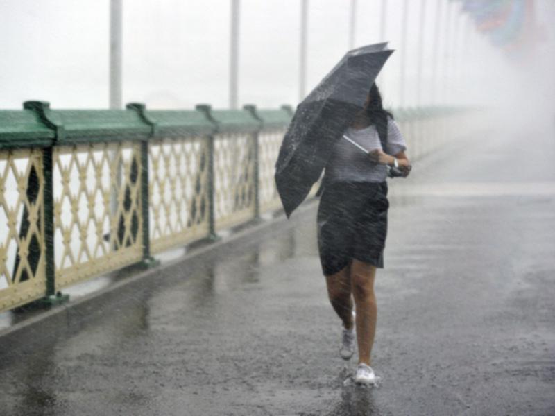
Sydney’s bleak autumn continues as forecasters warn of a major weather event developing offshore, with more rain and plunging temperatures on the way.

New South Wales is staring down a relentless stretch of wet, wild and wind-battered weather, with forecasters warning that the soggiest conditions of the year are yet to come.
The Bureau of Meteorology and major weather services have flagged a “major weather event” building through the weekend and into next week.
This is a result of a powerful mix of cold upper-level air, warm sea temperatures, and a deepening coastal trough that fuels heavy rain and dangerous winds across the state.
Sign up to The Nightly's newsletters.
Get the first look at the digital newspaper, curated daily stories and breaking headlines delivered to your inbox.
By continuing you agree to our Terms and Privacy Policy.
Wild week incoming: What to know
The Sydney Morning Herald reported that meteorologists predict that rainfall will peak between Thursday and Friday, with up to 100mm expected in parts of the central and mid-north coast.
Sydney is set for 9mm of rain on Thursday, rising to 15mm on Friday.
A low-pressure system forming offshore could also intensify, bringing thunderstorm risk and strong southerly winds to coastal areas by the weekend.
Gusts are expected to reach 60–70km/h on Sunday, prompting warnings for surfers, swimmers, and rock fishers to stay clear of hazardous seas.
Conditions are likely to remain bleak across the weekend, with a cold front dragging wet weather and cloud cover deep into inland NSW.
Meteorologists say the weather pattern isn’t shifting anytime soon.
The combination of warm seas and cold air at higher altitudes is creating the perfect storm for repeated downpours and lingering gloom.
While the forecast falls short of the historic La Niña rainfall of 2021–2022, Sydney has already recorded more than half its average yearly rainfall in the first four and a half months of 2025.
Warmer-than-usual sea surface temperatures are largely to blame, amplifying onshore moisture and powering the long-running wet trend.
The heaviest rainfall will concentrate along the NSW coastline, particularly in the Sydney metropolitan area and the Hunter region, with coastal communities urged to monitor alerts and avoid flood-prone areas.
While the worst of the system may move offshore by mid-next week, onshore winds are likely to keep showers hanging around and outdoor plans hanging in the balance.
Sydney’s 7-day forecast:
- Friday: 21C, shower or two easing (0-7mm)
- Saturday: 21C, shower or two (0-4mm)
- Sunday: 18C, showers increasing (1-20mm)
- Monday: 19C, showers (6-45mm)
- Tuesday: 21C, showers (3-35mm)
- Wednesday: 21C, showers (0-20mm)
- Thursday: 21C, showers or two (0-15mm)

