NSW weather warning: Heavy rain, dangerous winds, flooding expected to hammer coast as ‘bomb cyclone’ nears
NSW residents have been warned to brace for severe weather from Tuesday, with damaging winds, torrential rain and possible flooding expected to impact parts of the state.

NSW residents have been warned to brace for severe weather from Tuesday, with damaging winds, torrential rain, and potential flooding expected to impact the already flood-stricken Mid North Coast, Sydney, and other parts of the state’s east.
Severe weather warnings are in place for the coast as a rapidly intensifying low-pressure system began forming off Queensland’s south coast on Sunday night.
The weather system, known as “cyclogenesis,” is forecast to intensify into a powerful east coast low by Tuesday afternoon, with areas from Tenterfield to the Illawarra region warned of destructive winds reaching up to 110 km/h, strong enough to bring down trees and powerlines.
Sign up to The Nightly's newsletters.
Get the first look at the digital newspaper, curated daily stories and breaking headlines delivered to your inbox.
By continuing you agree to our Terms and Privacy Policy.The Bureau of Meteorology says some areas can also expect rainfall of up to 200mm over 48 hours, starting from midnight Monday.
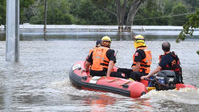
It said peak impact would be on Wednesday, from Coffs Harbour south to Bega, and included the risk of flash-flooding at Wallis Lake near Taree, one of the towns hard hit by floods in May that killed five people and damaged thousands of properties.
Hundreds of NSW State Emergency Service personnel, helicopters, and specialist vehicles are on standby as the wild storm tracks towards regions still recovering from deadly floods.
The NSW SES has issued warnings to those in Taree, Newcastle, Gosford, Sydney, Wollongong, and Port Macquarie to prepare for dangerous and destructive winds.
Residents are being urged to put away items around the home, keep cars under cover, and away from trees and power lines.
In addition, the SES has reminded people do not drive, ride or walk through any floodwaters, and if you are returning to a property that has been affected by potential storm damage, make sure that emergency services have cleared it before entering the property.
Weather bureau meteorologist Angus Hines said the system met the definition of a “cyclogenesis”, the formation of a low-pressure area.
NSW SES deputy commissioner Debbie Platz said authorities had been monitoring the “very dynamic and fast-moving system” since last week.
“It’s likely that this system will bring significant weather to these coastal fringe areas,” Ms Platz said.
“We do expect that as a result of that we will have flash flooding, as opposed to riverine flooding, that is not to discount riverine flooding.”
Bureau hazard preparedness manager Steve Bernasconi said the system would be at its most intense on Wednesday and produce destructive winds and coastal erosion to large stretches of coast.
Damaging winds were expected in Sydney, the Hunter Valley and Illawarra regions.
Hazardous surf was expected along the coast, the bureau cautioned.
Heaviest rain was expected over the state’s central coast, with totals of up to 200mm possible, although a “subtle shift” in conditions could move those falls to Sydney or the mid-north coast.
Coastal communities were being urged to prepare before the impact of the storm by tying down loose items and moving cars away from trees.
“As we move into Thursday, rain will ease, the winds and the surf may still remain a hazard, and on Friday conditions are expected to improve,” Mr Bernasconi said.
- With AAP
