Peter Wells: Greenbank man who died in Queensland floodwaters identified as ‘humble’ grandfather
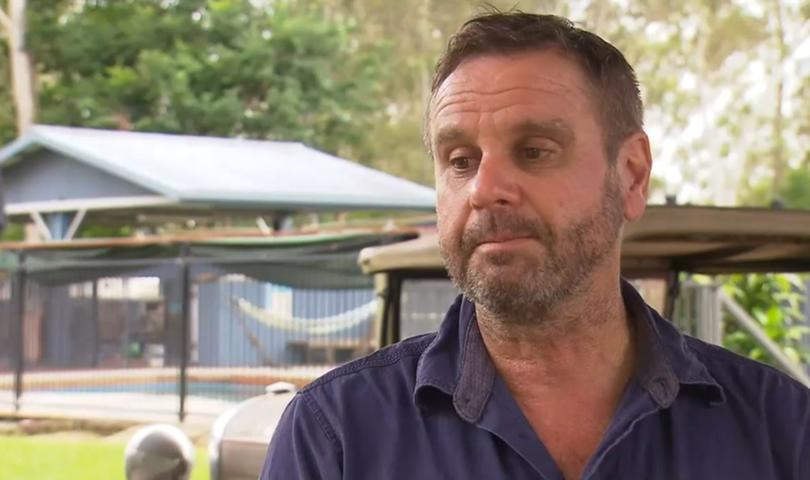
A close friend of the man who died in Queensland floodwaters has paid tribute to his mate, calling him a ‘lovely, humble family man’.

A close friend of the man who died in Queensland floodwaters has paid tribute to his mate, calling him a “lovely, humble family man”.
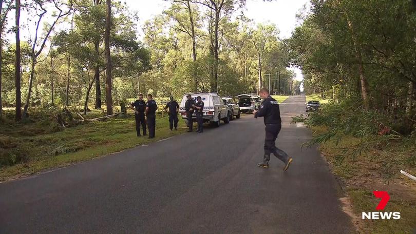
Peter Wells died near his Greenbank home when his ute became trapped in rising floodwaters in the early hours of Thursday morning.
Police were called to the property in Logan around 5.20am after concerns were raised about his welfare.
Sign up to The Nightly's newsletters.
Get the first look at the digital newspaper, curated daily stories and breaking headlines delivered to your inbox.
By continuing you agree to our Terms and Privacy Policy.When they arrived at Begley Road they discovered the ute washed away and Mr Wells’ body inside it.
Close friend Keith Draper said he was “very sad and shocked”.
“He was such a humble man and he had so many good friends and family,” Mr Draper said.
“Everyone around here loved him. I just cannot believe that he died this way.”
The Greenbank local said Mr Wells had lived in the area for 30 to 40 years.
“He would have travelled that road many, many times,” he said.
“I just cannot believe that he died this way.”
Police at the scene told 7NEWS they were bracing for another six days of heavy rain.
The tragic news comes as two intense weather systems merge to bring wild weather to large parts of Queensland and New South Wales.

The Bureau of Meteorology’s Angus Hines said more warnings could be issued throughout the day as thunderstorms moved through the south of Queensland.
“The most vigorous activity is generally over that Marranoa and Warrego region but potentially a little bit later today that could move somewhere else,” he told AAP.
“The primary threat is going to be heavy rainfall, much like it was last night, localised pockets of very heavy rainfall.”
Major flooding is being predicted along the Bremer River on Thursday morning, where the bureau says water levels have already risen sharply following Wednesday night’s heavy rainfall.
Moderate flooding is also possible in parts of the southern inland and southwest of Queensland including the Condamine, McIntyre, Weir, Warrego and Moonie Rivers.
For residents near the Moonie and Condamine rivers, it marks just a few months since river levels rose, flooding homes in a January emergency.

The weather system will move south into northern NSW developing into a low pressure system, bringing widespread rain of 30mm to 50mm and up to 100mm in some areas.
It was a wet evening on Wednesday in the state’s northeast, with Nashua recording 70mm and Walllis Lakes 64.5mm falling in two hours at Wallis Lakes.
Mr Hines said although a severe weather warning for NSW’s northern rivers, mid-north coast and Hunter regions was cancelled on Thursday morning, the state could still expect heavy rain in the coming days.
“As we push through today and tomorrow the rain is actually going to turn a little bit more widespread,” he said.
“Today we do have some further thunderstorms expected in the north which could bring some pockets of very heavy rainfall for the northern rivers and the northwest.”
The system is expected to track further south to the Hunter, Sydney, Blue Mountains and Illawarra on Friday.
On Wednesday, NSW State Emergency Services said they were preparing for the worst with residents urged to get ready for the storms.
“Flood and storm teams are on standby to respond should they be required, but we’re pleading with the community to be prepared, stay informed and not drive through floodwaters,” assistant commissioner Sean Keans said.
A flood watch is in place for the Mid North Coast, Sydney region, South Coast and parts of the north west.
