More wild weather to smash Australia’s east coast after SES calls, transport chaos and flight cancellations
An inland low and coastal trough joining forces brought torrential rains that caused havoc for transport, with trains delayed and more than 100 flights in and out of Sydney cancelled. And it’s not over yet.

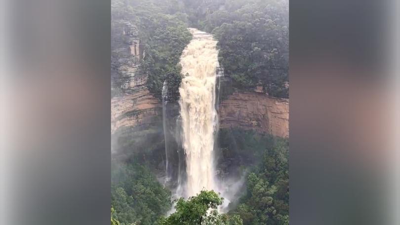
Much of Australia’s already soggy east coast remains braced for further drenching after two weather systems combined to bring heavy rainfall, strong winds and flooding along a 1200km band stretching south from Brisbane.
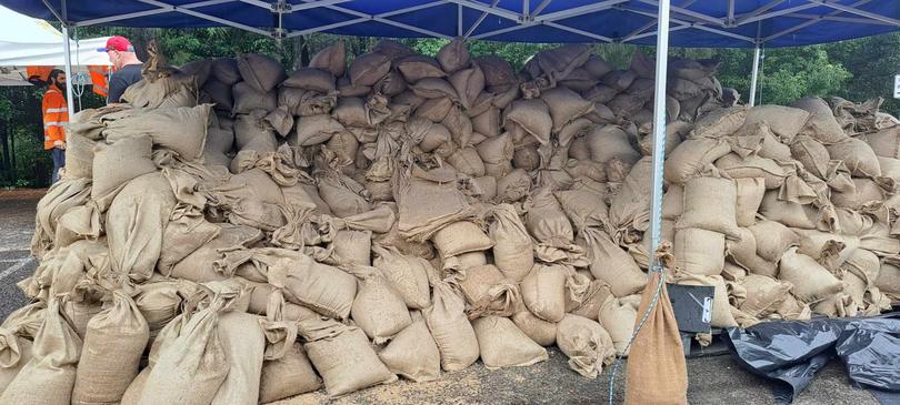
Authorities on Friday urged millions of coastal dwellers to stay home as falls of up to 300mm were forecast and the State Emergency Service fielded hundreds of calls, three of which resulted in floodwater rescues.
An inland low and coastal trough joining forces brought torrential rains that caused havoc for transport, with trains delayed and more than 100 flights in and out of Sydney’s airports cancelled.
Sign up to The Nightly's newsletters.
Get the first look at the digital newspaper, curated daily stories and breaking headlines delivered to your inbox.
By continuing you agree to our Terms and Privacy Policy.Transport for NSW advised people to delay any non-essential travel and recommended boaters remain ashore as the dangerous storm system travelled south.
While rainfall was set to ease through the weekend, Sydney’s flood crisis was expected to peak with Warragamba Dam forecast to spill on Monday and flood alerts issued for the Hawkesbury-Nepean area.
NSW Premier Chris Minns on Friday morning described “a significant weather event” and said more than 100mm of rain had hit Sydney overnight with falls of up to 300mm expected in some areas in coming days.
NSW residents were urged to stay home where possible and at least nine schools were closed for the day due to the “volatile” weather, he said.
Water NSW chief executive Andrew George said Sydney’s main water supply, Warragamba Dam, was on Friday morning at 96.3 per cent capacity and expected to spill on Monday.

“The spill will occur likely when the rainfall event has moved on, so it is very important that the community remain vigilant,” he said.
Since heavy rains started to fall overnight Thursday, the NSW SES clocked 1079 incidents including seven rescues. About 836 volunteers were on duty for over 24 hours.
Minor to major flood warnings were in place on dozens of waterways including the Hawkesbury and Nepean Rivers with moderate to major flooding likely along the Colo River. Parramatta River in Sydney’s west flooded on Friday afternoon.
The SES had 47 warnings in place on Friday afternoon, including a watch and act for residents of Darkwood on the mid-north coast to prepare to be isolated by flooding.
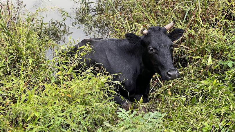
The storm claimed a life in Queensland after the body of a man was found by his ute near Logan, while a 30-minute wave of rain in northern NSW flooded enclosures at a wildlife sanctuary on Thursday.
“Due to the amount of water dumped into the park, we have relocated our animals and the hospital (has been) re-located to a higher position,” Byron Bay Wildlife Sanctuary said.
With the catastrophic 2022 Northern Rivers floods fresh in minds, the SES said the silver lining for Friday’s system was that the still-ravaged city of Lismore avoided predicted heavy flooding.
“If we go back to those northern river floods, it (the rainfall) didn’t move as forecast,” NSW SES Commissioner Carlene York said.
She urged people in Sydney, Gosford, Wollongong, Nowra, Batemans Bay and Goulburn to “stay indoors” due to the dangerous weather.
“I’m asking people that if it’s not a necessary trip to put it off to another day,” Ms York said.

A severe weather warning was in place along the NSW coast stretching from Morisset, south of Newcastle in the Hunter, down to Bega on the South Coast and extending west to the Central and Southern Tablelands past Oberon and Goulburn.
Severe thunderstorms were possible from the Queensland border south to Wollongong and west to Griffith and Cobar.
Wind gusts were forecast to reach up to 90km/h south of Sydney on Friday evening.
The rain was expected to shift further south, easing throughout Saturday before moving over the Tasman Sea.

